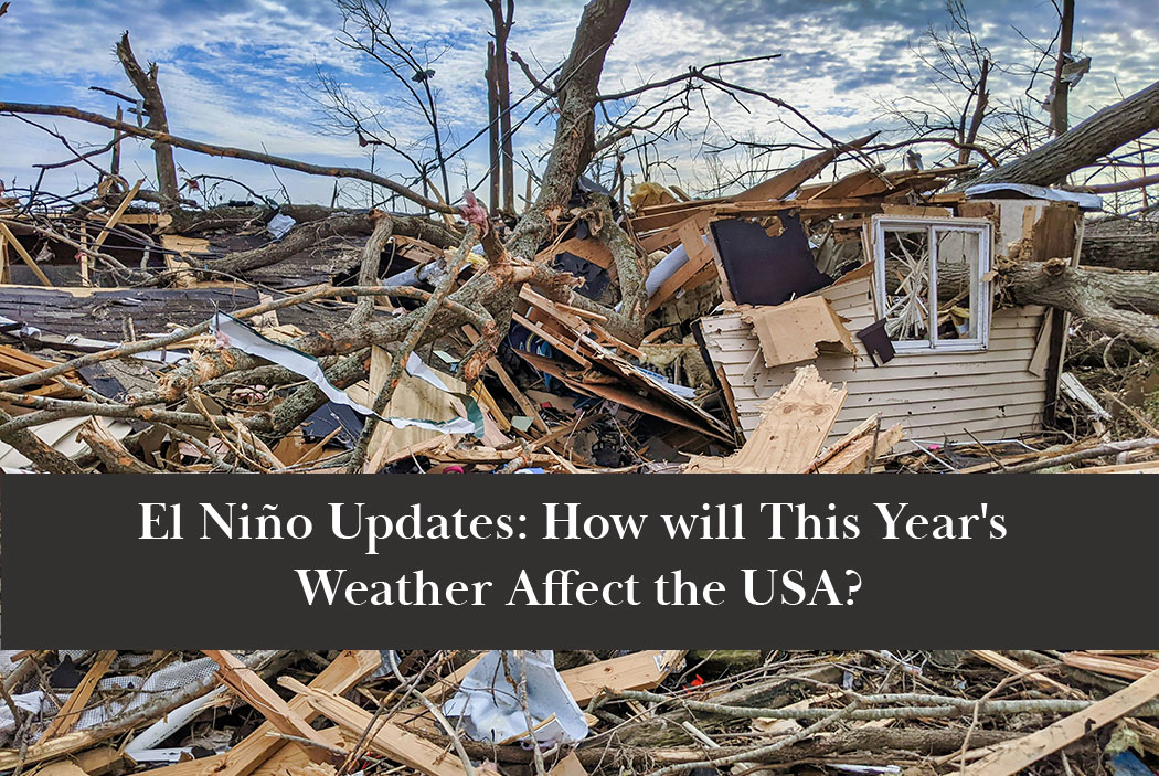
If you spend time following the weather or climate patterns, you’ve likely heard of El Niño and La Niña weather patterns. Weathermen proclaim: “It’s going to be an El Niño year!” and we all groan and start battering down the hatches. But when someone asks us, “What is an El Niño year?” we don’t always know how to answer. “It’s a stormy year.” some people say. “Bad skiing in the winter” other people answer. Everyone describes it with different, sometimes contradictory, language.
What is El Niño
El Niño — or “the little boy” in Spanish — is a weather pattern that breaks the normal cycle of trade winds in the pacific. During an El Niño event, trade winds are weak and warm water in the Pacific is pushed back east, toward the west coast of the Americas. That warms up temperatures in the Pacific ocean. Then, the warm waters push the jetstream south of its normal path. This leaves the north of the the Americas drier and warmer than usual. In turn, the south tends to be wetter and more stormy than usual.
But, that’s not always the case. El Niño produces unpredictable weather, which means that “dry in the north and wet in the south” isn’t enough to explain the overall impact of an El Niño weather pattern. For example, during the super El Niño of 2014-2016, the Northeastern United States was inundated with snow from November through March. The super El Niño of 1877-1878, though, was referred to as the “year without a winter” due to the unseasonably warm winter weather.
The 2026 El Nino
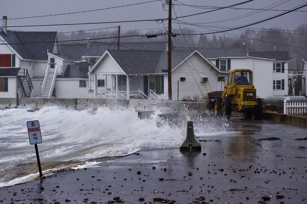
The weather patterns transitioned into a strong El Niño in June of 2026, and the El Niño conditions have continued to escalate since then. Ocean temperatures in the Pacific were registering at about 2 degrees Celsius above average, which indicates an incredibly strong El Niño pattern. But this September, those temperatures have increased to about 3 degrees Celsius about average. If these conditions continue, this could be the strongest ever recorded.
But, when it comes to predicting what that might mean for the upcoming months, we’re all just guessing. Will we have a winter of snowstorms and power outages? Will we have another “year without winter”? It’s impossible to say for certain. We’ve never seen such a strong El Niño pattern before. The weathermen I follow are leaning towards a stormy winter in the Northeast, with the potential for a lot of snow.
Last year, during the weak La Niña pattern that preceded our current, strong El Niño, our weather was deeply cold, but much drier than average. If that sounds confusing, based on the general descriptions of El Nino and La Niña events, you’re not alone. But remember, the important thing to know about both of these weather patterns is that they’re abnormal and very unpredictable.
Related Article: This Year’s Record-Breaking “Super El Niño” Weather Event May be Devastating
Predictions for Upcoming El Niño Weather
Based on the progression of this year’s El Niño, meteorologists do have some predictions.
The conditions are expected to increase throughout the fall and winter, possibly peaking around the end of the year. El Niños usually last between 9 and 12 months. But, it’s hard to predict typical weather patterns for untypical events, and El Niños can sometimes hold on for years.
Right now, there’s no indication of a shift to either typical weather patterns or a La Nina pattern in the near future. But a very strong El Niño does increase the likelihood of extreme shifts in weather patterns. Extreme weather can bring about extreme changes — a big storm or increased rainfall may lead to cooling, or increase the winds in the Pacific.
That’s part of what makes an El Niño event so unpredictable. Despite being caused by warm seas, it doesn’t always produce warmth. The strength doesn’t necessarily translate directly to the magnitude of its impacts in any region.
El Niño Winter Possibilities in the United States
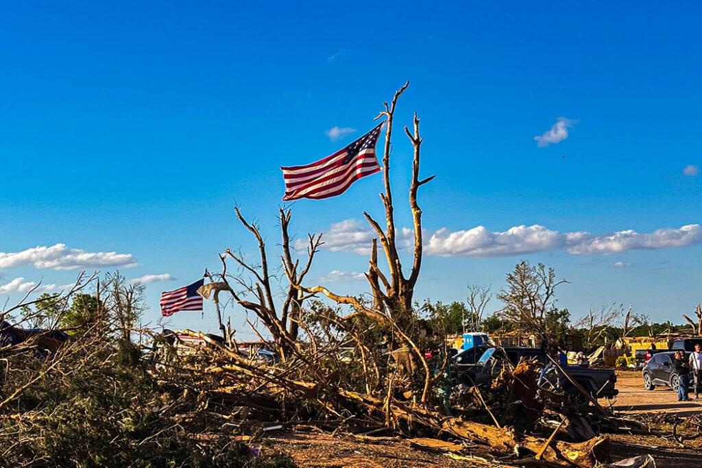
El Niño weather patterns tend to lead to quieter hurricane seasons, and this is proving true so far. In fact, we’re yet to see even one hurricane this autumn, far below the average of 3 hurricanes by September 10th.
The Northern United States, through western Michigan, tends to have a warmer and drier winter than usual during El Niño years, and if this year holds true, our friends in Minnesota and Montana won’t have as high of a heating bill as usual this winter.
In the south, from California to the Carolinas, El Niño winters are wetter and colder than average. This could mean snow in some areas that don’t usually have to worry about shoveling. It could also mean frozen pipes, ice-damage, and dangerous driving conditions. If you’re in the south, try to plan for a few winter surprises, and insulate those frost-sensitive plants!
The south-central midwest — areas like Ohio, Indiana, Kentucky, and Illinios — may end up with temperatures near-normal this winter, but without their usual winter precipitation. That could mean a cold, bare Christmas. If you’ve got plants that rely on protection from the snow to overwinter, mulch them well this fall instead.
Related Article: CLIMATE NEWS – Major Weather Events and Seismic Activity Worldwide
Uncertainty About 2026/2027 Weather Continues
With the changing climate, El Niño’s impact is even harder to pinpoint than it used to be. Weather events are ever-shifting and often hard to keep up with. We know that we’re in a record-breaking El Niño year, but we don’t know how much of an impact it will have on each individual region throughout the world.
Right now, meteorologists are expecting this super-El Niño to last at least into April. There is about a 55 percent possibility of it continuing on into June of 2027. If it does, we’ll see drier conditions continue to hold on in many areas of North America. We’ll also see the potential for flooding in South America. But weather is a mystery, and maybe this season of extreme conditions is just what we need to settle back into a nice, normal weather pattern again.
Featured Photo by Chandler Cruttenden on Unsplash